

A Lonely Drive to a Blue Lake
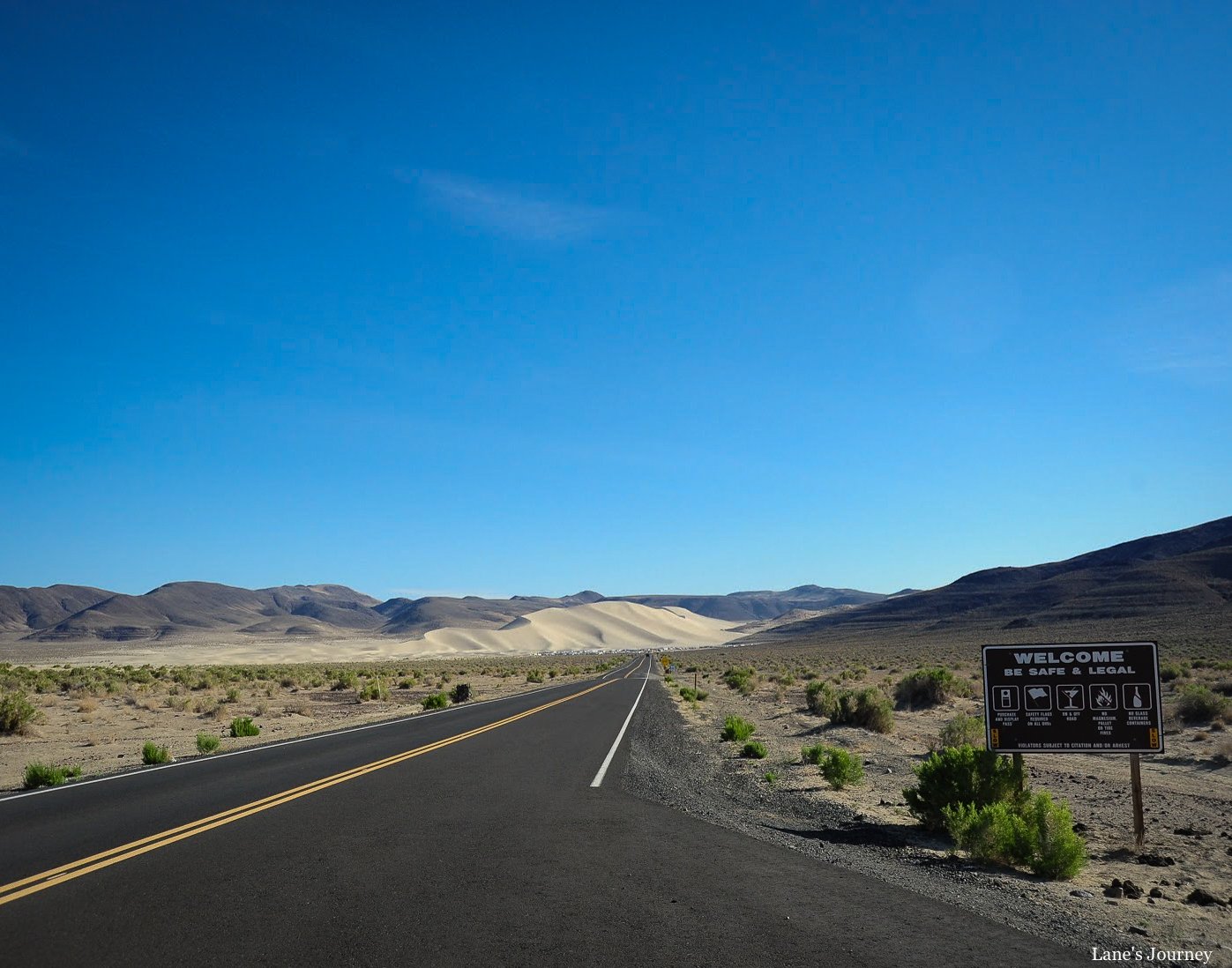
U.S. Route 50 was established in 1929 and stretches 3,019 miles across the country, from Ocean City, Maryland, to West Sacramento, California. A section of this route through Nevada is dubbed "The Loneliest Road in America". Rightly so! There are vast desert valleys, complete isolation, and sparsely populated areas.
Here are a few tips if you want to drive this route:
Fill up your tank! If you spot a sign stating, “Last Stop for Gas”, it’s not a marketing gimmick. It means stop now.
Go ahead and charge your cell phone, but there is likely no reception for miles. Take an old-timey thing called a paper map.
Pack some snacks and plenty of water. Don’t forget sunscreen too!
Create that playlist! There are no radio stations around these parts.
I picked up the route before Elko, Nevada, at the Northeastern Nevada Museum.
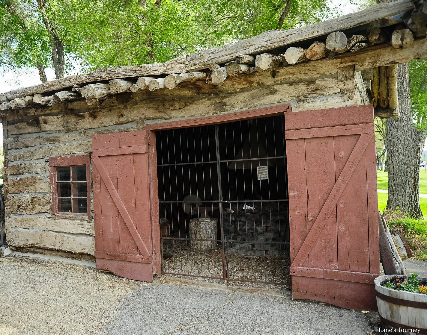
This building was part of an exhibit outside.
Last chance to stock up on supplies. And if you’re traveling during the summer months, days can occasionally reach triple digits in central Nevada.
Nevada is home to numerous ghost towns — roughly 110 in various stages of decay. Eureka isn’t exactly a ghost town, but there are plenty of ruins and deserted buildings. The now unincorporated town was settled in 1864, established due to the silver mining in the area. There were two functioning mines in the town’s heyday.
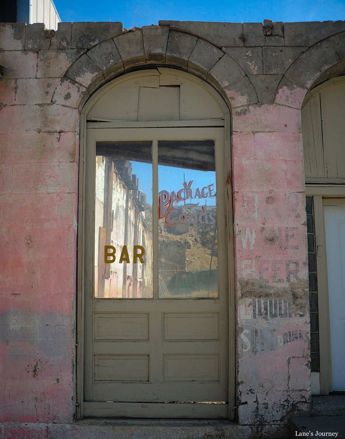
It’s a good stop on Route 50 for gas and a bite to eat.
Then the road flattens for miles in a valley surrounded by the Diamond Mountains.
It was roughly four hours to the final destination of Lake Tahoe. I stayed on the Nevada side.
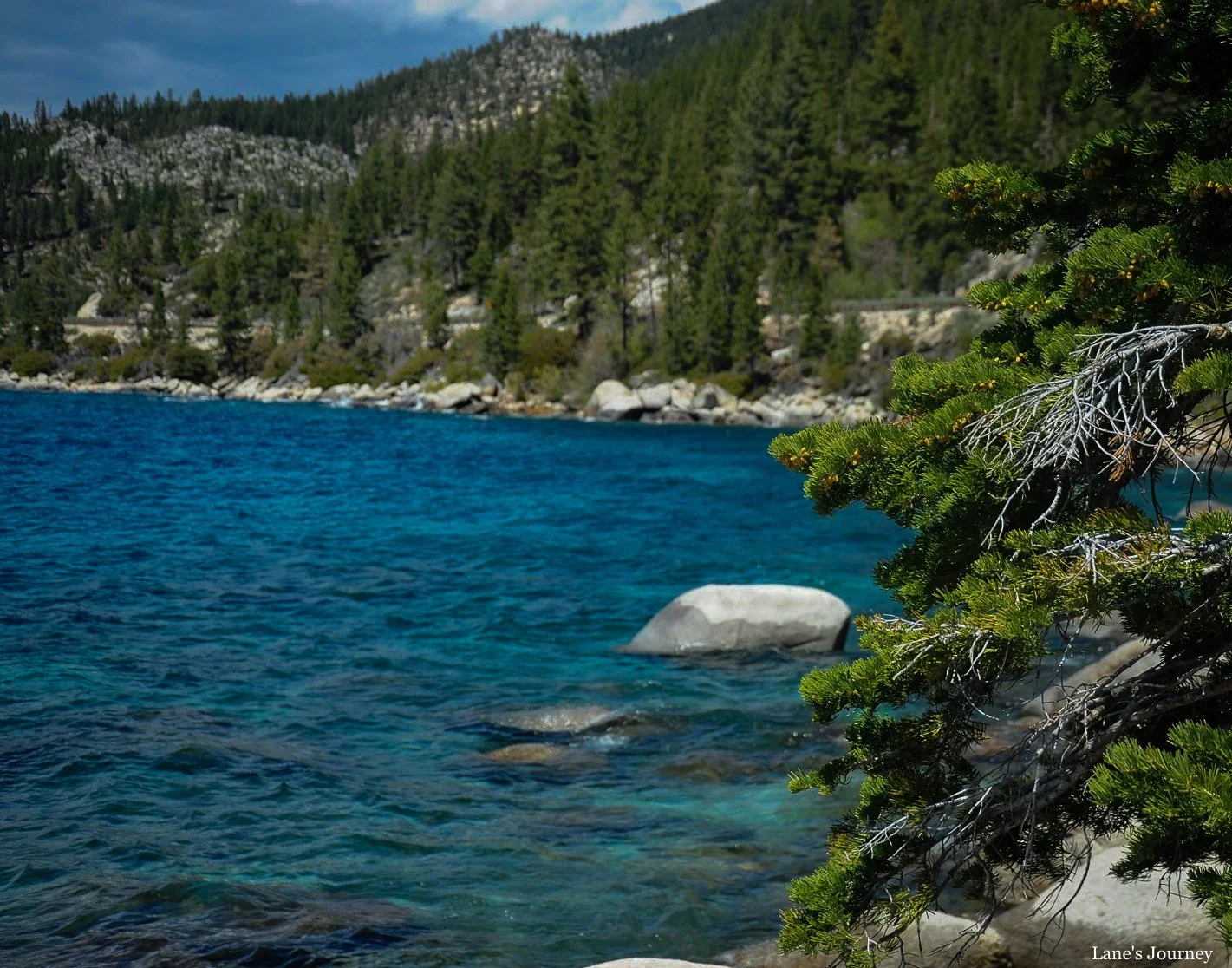
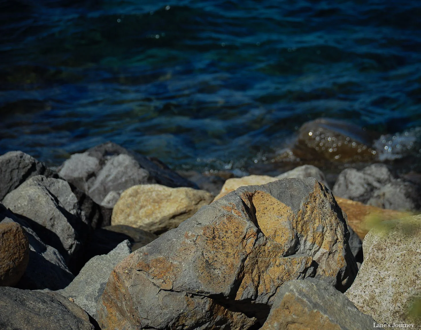
I didn’t use a filter for those shots. The water is truly that blue.
“If there is magic on this planet, it is contained in water.”
As with many bodies of water, climate change and humankind have taken their toll. For more info: Keep Tahoe Blue.
Where am I now? You can find me on Blue Sky.